
Quiring team to develop machine learning tools for soil moisture data

TDAI core faculty member Steven Quiring (geography) has launched a three-year project funded by the United States Department of Agriculture's National Institute of Food and Agriculture that will develop nationally available, high-resolution cyberinformatics tools to help farmers and others analyze and respond to soil conditions.
Currently, while there are various different products available for soil moisture and evapotranspiration data, there is no consensus about the best datasets to use to support on-farm decision-making, and the data are not easy to access or use. Quiring’s new project will develop user-friendly tools for agriculture, agribusiness, natural resource management and science that use machine-learning to integrate disparate satellite, in situ and model-derived data; downscale them to a usable scale; and disseminate them in near-real-time.
The goal is to provide timely data at a higher spatial resolution than currently available, making it easier and faster to utilize the data for decision-making. In addition to uses such as precision agriculture and irrigation scheduling, these farm-scale data are important for modeling crop yield and insect and disease outbreaks; water and other resource management; and mitigating the impacts of extreme weather such as droughts. Users will be able to access, analyze and visualize the data through a web portal.
“Obviously soil moisture and evapotranspiration are crucial factors in agriculture and natural resource management, and they are constantly changing conditions,” said Quiring. “Having timely access to these data will help enable better decision-making and, ultimately, better outcomes.”
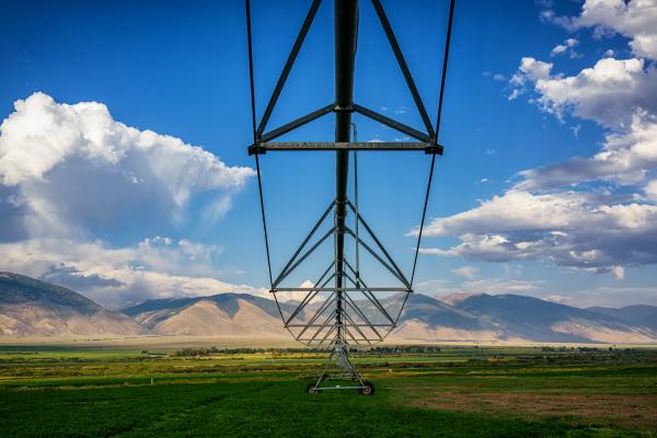
Feature photograph by Vidar Nordli-Mathisen on Unsplash