October 24, 2022
More accurate assessments of hurricane damage for responders
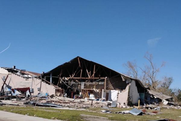
TDAI Affiliate Desheng Liu, Professor of Geography, and graduate student Polina Berezina, Geography, have published a study on a new model that uses remote sensing from satellites that can generate building footprints from pre-hurricane images and then compare them with images taken after the storm to help better predict the extent of building damage after the storm. Read more.